Former school in Bawtry
Introduction
The photograph on this page of Former school in Bawtry by Andrew Hill as part of the Geograph project.
The Geograph project started in 2005 with the aim of publishing, organising and preserving representative images for every square kilometre of Great Britain, Ireland and the Isle of Man.

There are currently over 7.5m images from over 14,400 individuals and you can help contribute to the project by visiting https://www.geograph.org.uk
Former school in Bawtry
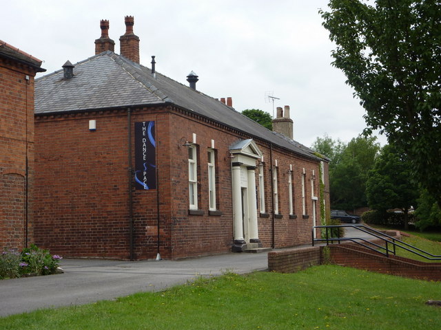
Image: © Andrew Hill Taken: 23 Jul 2010
This smart brick building is now a dance centre. The school was built in 1821 and enlarged in 1899. It is close to the library, which is down the steps to the right of the picture.
Images are licensed for reuse under creativecommons.org/licenses/by-sa/2.0
Image Location
Latitude
53.431395
Longitude
-1.021493