Along NCN4 at Port Talbot
Introduction
The photograph on this page of Along NCN4 at Port Talbot by shirokazan as part of the Geograph project.
The Geograph project started in 2005 with the aim of publishing, organising and preserving representative images for every square kilometre of Great Britain, Ireland and the Isle of Man.

There are currently over 7.5m images from over 14,400 individuals and you can help contribute to the project by visiting https://www.geograph.org.uk
Along NCN4 at Port Talbot
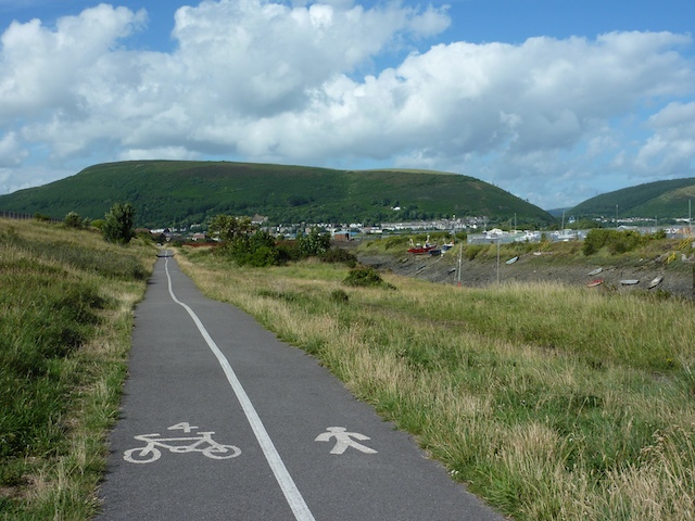
Image: © shirokazan Taken: 17 Jul 2010
This is where the cycle path (National Cycle Network route 4) runs adjacent to the docks area of Port Talbot. The hill of Mynydd Dinas dominates the background.
Images are licensed for reuse under creativecommons.org/licenses/by-sa/2.0
Image Location


Leaflet Map data © OpenStreetMap
Latitude
51.58631
Longitude
-3.799724