View towards Ashford from Bucksford Lane in 1975
Introduction
The photograph on this page of View towards Ashford from Bucksford Lane in 1975 by John Baker as part of the Geograph project.
The Geograph project started in 2005 with the aim of publishing, organising and preserving representative images for every square kilometre of Great Britain, Ireland and the Isle of Man.

There are currently over 7.5m images from over 14,400 individuals and you can help contribute to the project by visiting https://www.geograph.org.uk
View towards Ashford from Bucksford Lane in 1975
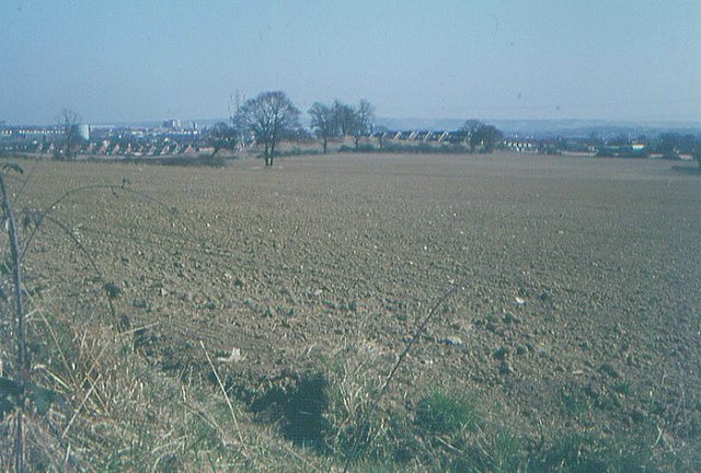
Image: © John Baker Taken: Unknown
The ploughed fields are now a public open space. In this view, the gas holder (now demolished) was situated near to Gasworks Lane, to its right is Chart House and (the tower) of St Mary's church, while in the far distance are the North Downs.
Images are licensed for reuse under creativecommons.org/licenses/by-sa/2.0
Image Location
Latitude
51.135489
Longitude
0.835486