Coulsdon: Footpath behind Woodman Road
Introduction
The photograph on this page of Coulsdon: Footpath behind Woodman Road by Dr Neil Clifton as part of the Geograph project.
The Geograph project started in 2005 with the aim of publishing, organising and preserving representative images for every square kilometre of Great Britain, Ireland and the Isle of Man.

There are currently over 7.5m images from over 14,400 individuals and you can help contribute to the project by visiting https://www.geograph.org.uk
Coulsdon: Footpath behind Woodman Road
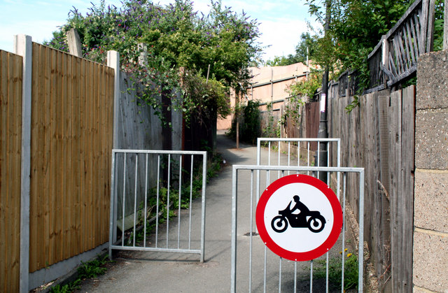
Image: © Dr Neil Clifton Taken: 24 Jul 2010
The LOOP continues west for a few yards, passing these motorcycle barriers, before turning right to go north over a footbridge crossing the Tattenham Corner railway line. See Image
Images are licensed for reuse under creativecommons.org/licenses/by-sa/2.0
Image Location
Latitude
51.319875
Longitude
-0.143034