Killantrae Burn
Introduction
The photograph on this page of Killantrae Burn by Andy Farrington as part of the Geograph project.
The Geograph project started in 2005 with the aim of publishing, organising and preserving representative images for every square kilometre of Great Britain, Ireland and the Isle of Man.

There are currently over 7.5m images from over 14,400 individuals and you can help contribute to the project by visiting https://www.geograph.org.uk
Killantrae Burn
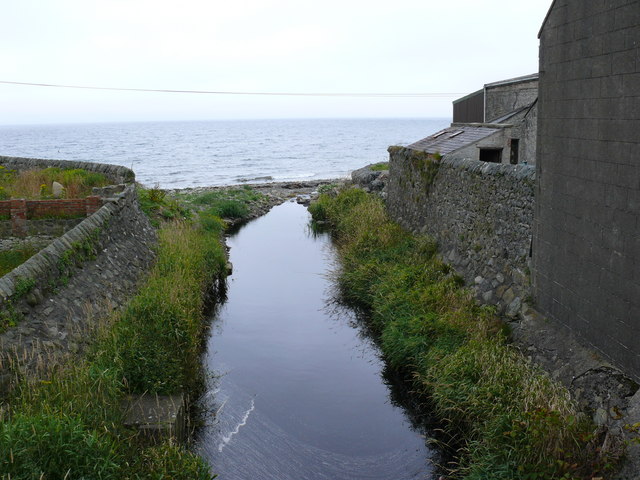
Image: © Andy Farrington Taken: 24 Jul 2010
View of this burn as it enters the sea through a culvert under Shore Street in Port William.
Images are licensed for reuse under creativecommons.org/licenses/by-sa/2.0
Image Location
Latitude
54.759397
Longitude
-4.584459