Field of Flax
Introduction
The photograph on this page of Field of Flax by Gillian Newbury as part of the Geograph project.
The Geograph project started in 2005 with the aim of publishing, organising and preserving representative images for every square kilometre of Great Britain, Ireland and the Isle of Man.

There are currently over 7.5m images from over 14,400 individuals and you can help contribute to the project by visiting https://www.geograph.org.uk
Field of Flax
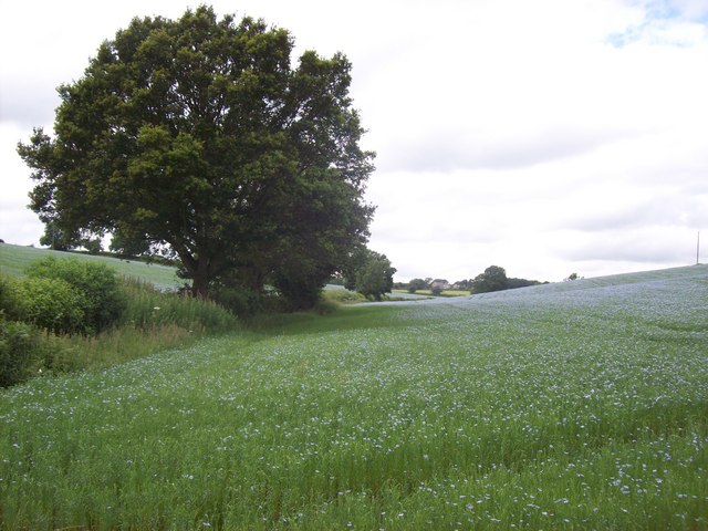
Image: © Gillian Newbury Taken: 1 Jul 2010
At the end of Two Gates Lane a footpath leads over a stile to open fields which were blue with flax. This valley lies beneath the two ridges of Bellingdon and Asheridge.
Images are licensed for reuse under creativecommons.org/licenses/by-sa/2.0
Image Location
Latitude
51.736708
Longitude
-0.645488