Stable building at Meadowfield Farm
Introduction
The photograph on this page of Stable building at Meadowfield Farm by Roger Templeman as part of the Geograph project.
The Geograph project started in 2005 with the aim of publishing, organising and preserving representative images for every square kilometre of Great Britain, Ireland and the Isle of Man.

There are currently over 7.5m images from over 14,400 individuals and you can help contribute to the project by visiting https://www.geograph.org.uk
Stable building at Meadowfield Farm
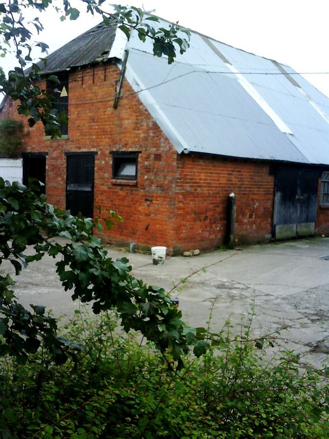
Image: © Roger Templeman Taken: 22 Jul 2010
There is an Ordnance Survey cut mark benchmark http://www.bench-marks.org.uk/bm34931 on the near corner of the building above the plastic bucket
Images are licensed for reuse under creativecommons.org/licenses/by-sa/2.0
Image Location


Leaflet Map data © OpenStreetMap
Latitude
54.280205
Longitude
-1.593578