Balls Park developers sign
Introduction
The photograph on this page of Balls Park developers sign by Rob Candlish as part of the Geograph project.
The Geograph project started in 2005 with the aim of publishing, organising and preserving representative images for every square kilometre of Great Britain, Ireland and the Isle of Man.

There are currently over 7.5m images from over 14,400 individuals and you can help contribute to the project by visiting https://www.geograph.org.uk
Balls Park developers sign
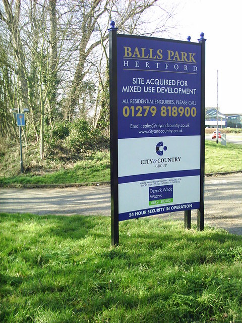
Image: © Rob Candlish Taken: 16 Mar 2005
Developer's sign at the junction of London Road and the A414 announcing their acquisition of Balls Park, a Grade One listed building once a campus of The University of Hertfordshire and where I studied for my degree.
Images are licensed for reuse under creativecommons.org/licenses/by-sa/2.0
Image Location
Latitude
51.793461
Longitude
-0.062158