Former Infant School, Rowsham
Introduction
The photograph on this page of Former Infant School, Rowsham by Rob Farrow as part of the Geograph project.
The Geograph project started in 2005 with the aim of publishing, organising and preserving representative images for every square kilometre of Great Britain, Ireland and the Isle of Man.

There are currently over 7.5m images from over 14,400 individuals and you can help contribute to the project by visiting https://www.geograph.org.uk
Former Infant School, Rowsham
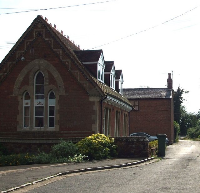
Image: © Rob Farrow Taken: 6 Jul 2006
A view along Brewhouse Lane in Rowsham. The nearest building used to be a little infants school, though now it is a private house. The more distant building might have been a chapel, as a chapel is marked on the OS maps in approximately its position. However, this Image certainly was a chapel, so perhaps it was marked on the map incorrectly.
Images are licensed for reuse under creativecommons.org/licenses/by-sa/2.0
Image Location
Latitude
51.855027
Longitude
-0.767247