Farm on Rowsham Road
Introduction
The photograph on this page of Farm on Rowsham Road by Rob Farrow as part of the Geograph project.
The Geograph project started in 2005 with the aim of publishing, organising and preserving representative images for every square kilometre of Great Britain, Ireland and the Isle of Man.

There are currently over 7.5m images from over 14,400 individuals and you can help contribute to the project by visiting https://www.geograph.org.uk
Farm on Rowsham Road
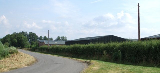
Image: © Rob Farrow Taken: 6 Jul 2006
This farm is one of the few dwellings on Rowsham Road. Originally this was the old lane from Bierton to Rowsham avoiding Hulcott - whereas the main road went via that little village. Later this lane became the main route, bypassing Hulcott. Nowadays the main A418 bypasses both Hulcott and this section of lane entirely but ploughs through both Bierton and Rowsham - I think Hulcott got the best end of the deal.
Images are licensed for reuse under creativecommons.org/licenses/by-sa/2.0
Image Location
Latitude
51.841665
Longitude
-0.779224