Roofs of Red Hill Farm
Introduction
The photograph on this page of Roofs of Red Hill Farm by Robin Stott as part of the Geograph project.
The Geograph project started in 2005 with the aim of publishing, organising and preserving representative images for every square kilometre of Great Britain, Ireland and the Isle of Man.

There are currently over 7.5m images from over 14,400 individuals and you can help contribute to the project by visiting https://www.geograph.org.uk
Roofs of Red Hill Farm
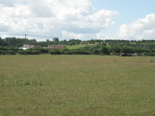
Image: © Robin Stott Taken: 21 Jul 2010
Shown on OS Open Space as Red Hill Christian Centre. The higher ground in the distance is mostly in this square and to the west of Snitterfield.
Images are licensed for reuse under creativecommons.org/licenses/by-sa/2.0
Image Location
Latitude
52.240428
Longitude
-1.670449