The Parish Church of St Luke, Heywood
Introduction
The photograph on this page of The Parish Church of St Luke, Heywood by David Dixon as part of the Geograph project.
The Geograph project started in 2005 with the aim of publishing, organising and preserving representative images for every square kilometre of Great Britain, Ireland and the Isle of Man.

There are currently over 7.5m images from over 14,400 individuals and you can help contribute to the project by visiting https://www.geograph.org.uk
The Parish Church of St Luke, Heywood
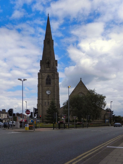
Image: © David Dixon Taken: 23 Jul 2010
St Luke's is in the centre of Heywood, at the junction of York Street (A58) and Church Street (A6046). This view is taken from Market Street
Images are licensed for reuse under creativecommons.org/licenses/by-sa/2.0
Image Location
Latitude
53.593279
Longitude
-2.21876