Farmland near Heath End
Introduction
The photograph on this page of Farmland near Heath End by Robin Stott as part of the Geograph project.
The Geograph project started in 2005 with the aim of publishing, organising and preserving representative images for every square kilometre of Great Britain, Ireland and the Isle of Man.

There are currently over 7.5m images from over 14,400 individuals and you can help contribute to the project by visiting https://www.geograph.org.uk
Farmland near Heath End
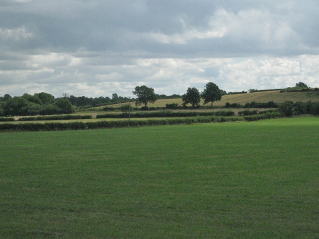
Image: © Robin Stott Taken: 21 Jul 2010
At a point on the skyline there was sight and sound of container lorries on the A46.
Images are licensed for reuse under creativecommons.org/licenses/by-sa/2.0
Image Location
Latitude
52.242218
Longitude
-1.667507