Junction House
Introduction
The photograph on this page of Junction House by Ian Calderwood as part of the Geograph project.
The Geograph project started in 2005 with the aim of publishing, organising and preserving representative images for every square kilometre of Great Britain, Ireland and the Isle of Man.

There are currently over 7.5m images from over 14,400 individuals and you can help contribute to the project by visiting https://www.geograph.org.uk
Junction House
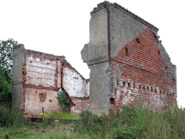
Image: © Ian Calderwood Taken: 23 Jul 2010
Junction House was a toll house on the Charnwood Forest canal at the junction of the main line with the Barrow Hill arm. It was still inhabited within living memory but has fallen apart since the 1970s.
Images are licensed for reuse under creativecommons.org/licenses/by-sa/2.0
Image Location
Latitude
52.764579
Longitude
-1.368478