Dry Canal Bed
Introduction
The photograph on this page of Dry Canal Bed by Ian Calderwood as part of the Geograph project.
The Geograph project started in 2005 with the aim of publishing, organising and preserving representative images for every square kilometre of Great Britain, Ireland and the Isle of Man.

There are currently over 7.5m images from over 14,400 individuals and you can help contribute to the project by visiting https://www.geograph.org.uk
Dry Canal Bed
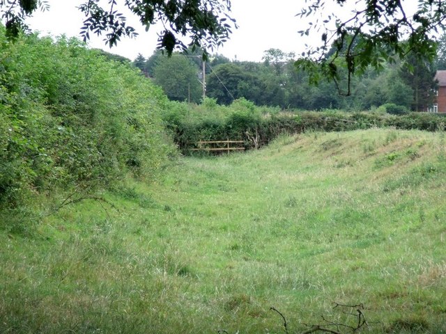
Image: © Ian Calderwood Taken: 23 Jul 2010
This section of dry canal bed is close to its terminus at Thringston, behind Cinder Hill Farm.
Images are licensed for reuse under creativecommons.org/licenses/by-sa/2.0
Image Location
Latitude
52.760998
Longitude
-1.371197