Road junction near Blaenpant
Introduction
The photograph on this page of Road junction near Blaenpant by Nigel Brown as part of the Geograph project.
The Geograph project started in 2005 with the aim of publishing, organising and preserving representative images for every square kilometre of Great Britain, Ireland and the Isle of Man.

There are currently over 7.5m images from over 14,400 individuals and you can help contribute to the project by visiting https://www.geograph.org.uk
Road junction near Blaenpant
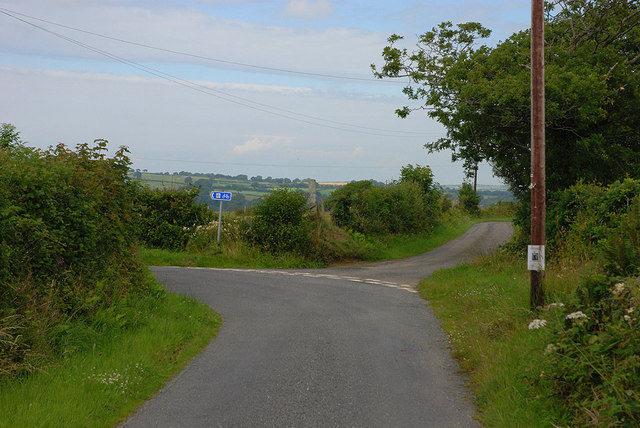
Image: © Nigel Brown Taken: 23 Jul 2010
The main route swings left and is also a cycle route. The minor route straight ahead heads for Neuadd-lwyd.
Images are licensed for reuse under creativecommons.org/licenses/by-sa/2.0
Image Location
Latitude
52.204273
Longitude
-4.238621