Standing Stone
Introduction
The photograph on this page of Standing Stone by Andy Farrington as part of the Geograph project.
The Geograph project started in 2005 with the aim of publishing, organising and preserving representative images for every square kilometre of Great Britain, Ireland and the Isle of Man.

There are currently over 7.5m images from over 14,400 individuals and you can help contribute to the project by visiting https://www.geograph.org.uk
Standing Stone
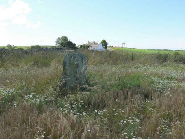
Image: © Andy Farrington Taken: 23 Jul 2010
View southwards of the stone and the B7085 which runs in this direction to Port William. From the angle I took this shot the stone appears similar to the Easter Island stone heads albeit a bit smaller.
Images are licensed for reuse under creativecommons.org/licenses/by-sa/2.0
Image Location
Latitude
54.801606
Longitude
-4.518064