Oakfield Road, Aylesbury
Introduction
The photograph on this page of Oakfield Road, Aylesbury by Rob Farrow as part of the Geograph project.
The Geograph project started in 2005 with the aim of publishing, organising and preserving representative images for every square kilometre of Great Britain, Ireland and the Isle of Man.

There are currently over 7.5m images from over 14,400 individuals and you can help contribute to the project by visiting https://www.geograph.org.uk
Oakfield Road, Aylesbury
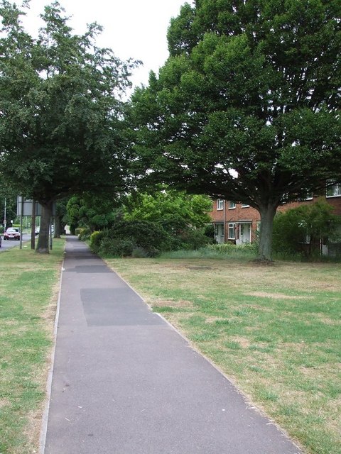
Image: © Rob Farrow Taken: 6 Jul 2006
The houses on the right here benefit from a wide verge to separate them from the A4157. This road is Aylesbury's answer to a ring-road as it trundles in a semi-circle through the estates of the northern half of the town.
Images are licensed for reuse under creativecommons.org/licenses/by-sa/2.0
Image Location
Latitude
51.815702
Longitude
-0.790081