Former Independent Chapel, Rowsham
Introduction
The photograph on this page of Former Independent Chapel, Rowsham by Rob Farrow as part of the Geograph project.
The Geograph project started in 2005 with the aim of publishing, organising and preserving representative images for every square kilometre of Great Britain, Ireland and the Isle of Man.

There are currently over 7.5m images from over 14,400 individuals and you can help contribute to the project by visiting https://www.geograph.org.uk
Former Independent Chapel, Rowsham
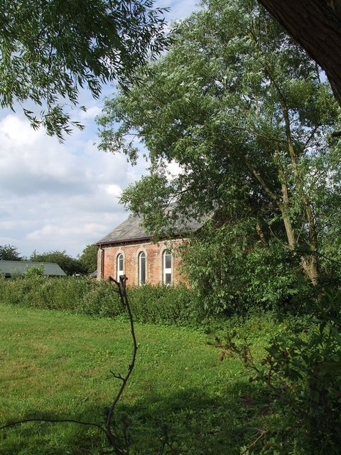
Image: © Rob Farrow Taken: 6 Jul 2006
At the end of Brewhouse Lane in Rowsham and slightly to the north is this little building, viewed here across a field from Brewhouse Lane. I think that it is now a private house, however looking at an 1880s map it is marked as an Independent chapel.
Images are licensed for reuse under creativecommons.org/licenses/by-sa/2.0
Image Location
Latitude
51.855012
Longitude
-0.765795