Abingdon Road Allotments
Introduction
The photograph on this page of Abingdon Road Allotments by Claire Ward as part of the Geograph project.
The Geograph project started in 2005 with the aim of publishing, organising and preserving representative images for every square kilometre of Great Britain, Ireland and the Isle of Man.

There are currently over 7.5m images from over 14,400 individuals and you can help contribute to the project by visiting https://www.geograph.org.uk
Abingdon Road Allotments
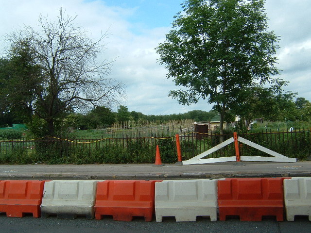
Image: © Claire Ward Taken: 17 Jun 2005
Taken from mid way up the right side of the grid square looking east. There were road works taking place along the Abingdon Road.
Images are licensed for reuse under creativecommons.org/licenses/by-sa/2.0
Image Location


Leaflet Map data © OpenStreetMap
Latitude
51.735025
Longitude
-1.251292