Old road by the Bull's Head Inn
Introduction
The photograph on this page of Old road by the Bull's Head Inn by P L Chadwick as part of the Geograph project.
The Geograph project started in 2005 with the aim of publishing, organising and preserving representative images for every square kilometre of Great Britain, Ireland and the Isle of Man.

There are currently over 7.5m images from over 14,400 individuals and you can help contribute to the project by visiting https://www.geograph.org.uk
Old road by the Bull's Head Inn
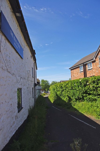
Image: © P L Chadwick Taken: 21 Jun 2010
What is now just a footpath appears to have once been a road. It is probably the original line of Bakehouse Lane, which now joins the B4555 on the other side of a newish house.
Images are licensed for reuse under creativecommons.org/licenses/by-sa/2.0
Image Location
Latitude
52.483987
Longitude
-2.410502