Scabba Wood
Introduction
The photograph on this page of Scabba Wood by Michael Patterson as part of the Geograph project.
The Geograph project started in 2005 with the aim of publishing, organising and preserving representative images for every square kilometre of Great Britain, Ireland and the Isle of Man.

There are currently over 7.5m images from over 14,400 individuals and you can help contribute to the project by visiting https://www.geograph.org.uk
Scabba Wood
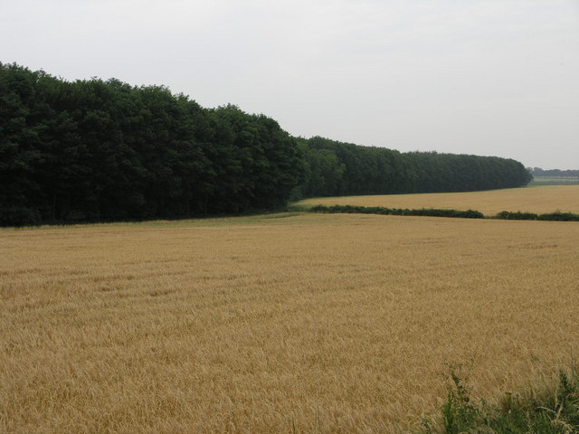
Image: © Michael Patterson Taken: 5 Jul 2006
Scabba Wood has much the same boundaries as it did on the 1940s map. The recent sunshine has quickly ripened this fields crop.
Images are licensed for reuse under creativecommons.org/licenses/by-sa/2.0
Image Location
Latitude
53.51116
Longitude
-1.208303