West Mains of Baldoon
Introduction
The photograph on this page of West Mains of Baldoon by Andy Farrington as part of the Geograph project.
The Geograph project started in 2005 with the aim of publishing, organising and preserving representative images for every square kilometre of Great Britain, Ireland and the Isle of Man.

There are currently over 7.5m images from over 14,400 individuals and you can help contribute to the project by visiting https://www.geograph.org.uk
West Mains of Baldoon
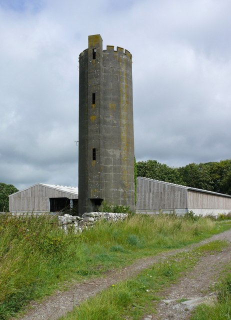
Image: © Andy Farrington Taken: 21 Jul 2010
This tower stands at the back of the farm at the side of a track. I cannot find historic records for the tower and assume it is a more recent build, possibly used as a feed tower.
Images are licensed for reuse under creativecommons.org/licenses/by-sa/2.0
Image Location
Latitude
54.844683
Longitude
-4.446912