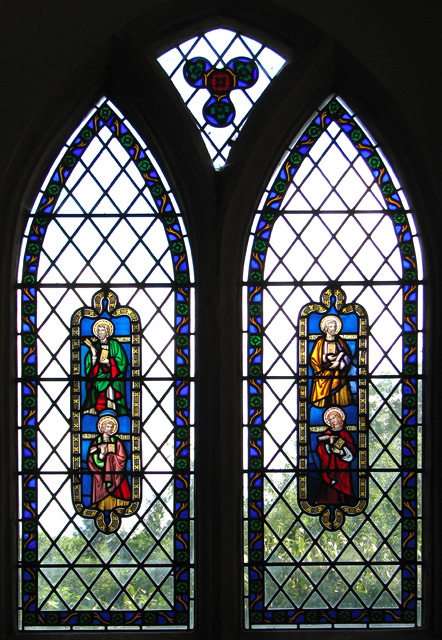
All Saints' church in Santon - stained glass
Introduction
The photograph on this page of All Saints' church in Santon - stained glass by Evelyn Simak as part of the Geograph project.
The Geograph project started in 2005 with the aim of publishing, organising and preserving representative images for every square kilometre of Great Britain, Ireland and the Isle of Man.
There are currently over 7.5m images from over 14,400 individuals and you can help contribute to the project by visiting https://www.geograph.org.uk

Image: © Evelyn Simak Taken: 21 Jul 2010
All Saints' church > http://www.geograph.org.uk/photo/1974510 is believed to have been built on (or close by) the site of a medieval church. It is situated on the Norfolk bank of the Little Ouse River, which here forms the boundary between Norfolk and Suffolk. It is adjoined by a handful of houses at the end of a lane that leads to St Helen's picnic site. Even after a restoration that was carried out in the mid 1800s - chancel and porch were added and the tower > http://www.geograph.org.uk/photo/1974517 was made higher by adding the octagonal top section - All Saints' remained one of the smallest churches in England. The chancel is believed to incorporate materials - chancel roof > http://www.geograph.org.uk/photo/1974528 and screen as well as the floor tiles, and possibly the tiles behind the altar > http://www.geograph.org.uk/photo/1974525 - that came from nearby St Mary's church in West Toft which was undergoing restoration at the time. The two south windows in the nave were re-assembled by D King of Norwich from several boxes containing glass, lead and stones. Sadly, both the original altar table and the 'birdbath' font were stolen several years ago. The church was declared redundant in the 1990s and a trust has since been set up to care for it.

