Electricity Pylon
Introduction
The photograph on this page of Electricity Pylon by Linnet as part of the Geograph project.
The Geograph project started in 2005 with the aim of publishing, organising and preserving representative images for every square kilometre of Great Britain, Ireland and the Isle of Man.

There are currently over 7.5m images from over 14,400 individuals and you can help contribute to the project by visiting https://www.geograph.org.uk
Electricity Pylon
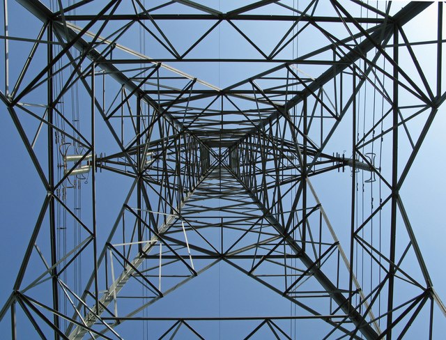
Image: © Linnet Taken: 22 May 2010
This picture was taken from the base of the pylon towards the top in Rhyn Lane, Rhyn nr. St Martins
Images are licensed for reuse under creativecommons.org/licenses/by-sa/2.0
Image Location
Latitude
52.921614
Longitude
-3.033189