Flooding recedes on the South Inch
Introduction
The photograph on this page of Flooding recedes on the South Inch by Lis Burke as part of the Geograph project.
The Geograph project started in 2005 with the aim of publishing, organising and preserving representative images for every square kilometre of Great Britain, Ireland and the Isle of Man.

There are currently over 7.5m images from over 14,400 individuals and you can help contribute to the project by visiting https://www.geograph.org.uk
Flooding recedes on the South Inch
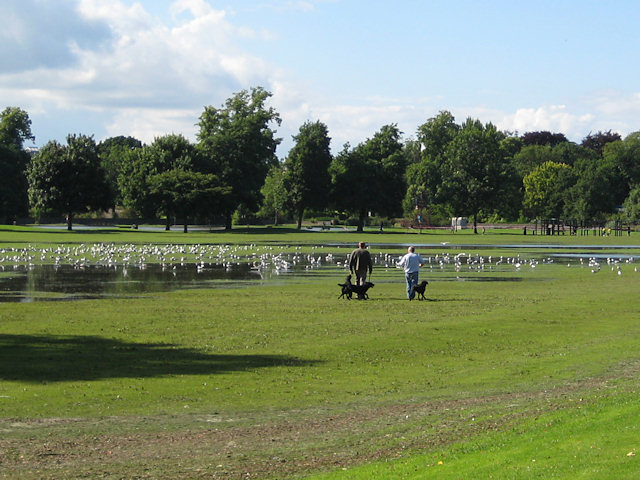
Image: © Lis Burke Taken: 22 Jul 2010
Perth received 40mm of rainfall yesterday morning, causing flooding in many parts of the town centre. This area of the South Inch is designed to store water from the Craigie Burn Image Image when the river level is too high for it to flow out into the Tay. Now that the river level has dropped again the South Inch is starting to dry out.
Images are licensed for reuse under creativecommons.org/licenses/by-sa/2.0
Image Location
Latitude
56.388363
Longitude
-3.433564