Site of Aberbargoed Station
Introduction
The photograph on this page of Site of Aberbargoed Station by Ben Brooksbank as part of the Geograph project.
The Geograph project started in 2005 with the aim of publishing, organising and preserving representative images for every square kilometre of Great Britain, Ireland and the Isle of Man.

There are currently over 7.5m images from over 14,400 individuals and you can help contribute to the project by visiting https://www.geograph.org.uk
Site of Aberbargoed Station
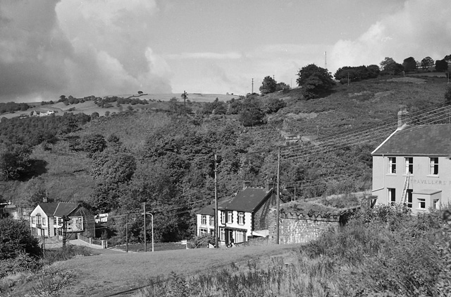
Image: © Ben Brooksbank Taken: 29 Sep 1973
View westward across Rhymney Valley. Station was in foreground, on ex-Great Western (Rhymney Rly.) 'Old Rumney' line, (Newport) - Bassaleg Junction - Risca - New Tredegar - Rhymney. The station was closed completely along with the line on 31/12/62 (in 1930 beyond New Tredegar).
Images are licensed for reuse under creativecommons.org/licenses/by-sa/2.0
Image Location
Latitude
51.696452
Longitude
-3.228924