M60, Hollinwood
Introduction
The photograph on this page of M60, Hollinwood by David Dixon as part of the Geograph project.
The Geograph project started in 2005 with the aim of publishing, organising and preserving representative images for every square kilometre of Great Britain, Ireland and the Isle of Man.

There are currently over 7.5m images from over 14,400 individuals and you can help contribute to the project by visiting https://www.geograph.org.uk
M60, Hollinwood
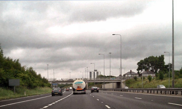
Image: © David Dixon Taken: 20 Jul 2010
The anti-clockwise carriageway of the M60, approaching the bridge carrying Roman Road over the motorway.
Images are licensed for reuse under creativecommons.org/licenses/by-sa/2.0
Image Location
Latitude
53.515956
Longitude
-2.137981