Pitt Lane
Introduction
The photograph on this page of Pitt Lane by Derek Harper as part of the Geograph project.
The Geograph project started in 2005 with the aim of publishing, organising and preserving representative images for every square kilometre of Great Britain, Ireland and the Isle of Man.

There are currently over 7.5m images from over 14,400 individuals and you can help contribute to the project by visiting https://www.geograph.org.uk
Pitt Lane
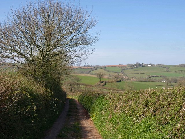
Image: © Derek Harper Taken: 22 Apr 2010
A tiny lane north of Cadbury Cross, and deemed unsuitable for motor vehicles, although shown in yellow on the 1:25000 map. Here it can be seen continuing towards Chapeltown Cross after crossing side valley. On the skyline to the right is Cadeleigh and its church tower, in Image
Images are licensed for reuse under creativecommons.org/licenses/by-sa/2.0
Image Location
Latitude
50.843619
Longitude
-3.553662