Farmland north-west of Montgomery
Introduction
The photograph on this page of Farmland north-west of Montgomery by Philip Halling as part of the Geograph project.
The Geograph project started in 2005 with the aim of publishing, organising and preserving representative images for every square kilometre of Great Britain, Ireland and the Isle of Man.

There are currently over 7.5m images from over 14,400 individuals and you can help contribute to the project by visiting https://www.geograph.org.uk
Farmland north-west of Montgomery
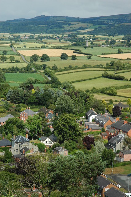
Image: © Philip Halling Taken: 7 Jul 2010
View of farmland and the B4386 to the north-west of Montgomery, viewed from Montgomery Castle. Offa's Dyke is visible, marked by a line of trees in the middle distance (just above to centre of the picture).
Images are licensed for reuse under creativecommons.org/licenses/by-sa/2.0
Image Location
Latitude
52.565866
Longitude
-3.140666