Highoredish viewpoint - 2
Introduction
The photograph on this page of Highoredish viewpoint - 2 by Trevor Rickard as part of the Geograph project.
The Geograph project started in 2005 with the aim of publishing, organising and preserving representative images for every square kilometre of Great Britain, Ireland and the Isle of Man.

There are currently over 7.5m images from over 14,400 individuals and you can help contribute to the project by visiting https://www.geograph.org.uk
Highoredish viewpoint - 2
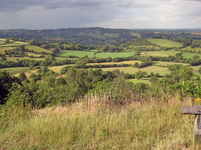
Image: © Trevor Rickard Taken: 17 Jul 2010
From the viewpoint on the gritstone ridge west of Brackenfield looking north across the Amber valley towards Ashover Hay. Just left of centre in the middle distance is the ridge of Ravensnest Tor and the cliff face of Milltown Quarry. Image
Images are licensed for reuse under creativecommons.org/licenses/by-sa/2.0
Image Location


Leaflet Map data © OpenStreetMap
Latitude
53.135365
Longitude
-1.474116