Standish Lodge
Introduction
The photograph on this page of Standish Lodge by Derek Harper as part of the Geograph project.
The Geograph project started in 2005 with the aim of publishing, organising and preserving representative images for every square kilometre of Great Britain, Ireland and the Isle of Man.

There are currently over 7.5m images from over 14,400 individuals and you can help contribute to the project by visiting https://www.geograph.org.uk
Standish Lodge
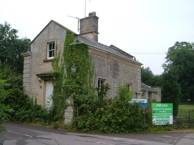
Image: © Derek Harper Taken: 5 Jul 2006
This was the lodge to the former Standish House which became a hospital and is now, as the notice says, for sale. Smart rusticated quoins. Taken from Horsemarling Lane.
Images are licensed for reuse under creativecommons.org/licenses/by-sa/2.0
Image Location
Latitude
51.755794
Longitude
-2.271737