Maypole, Ansty
Introduction
The photograph on this page of Maypole, Ansty by Maigheach-gheal as part of the Geograph project.
The Geograph project started in 2005 with the aim of publishing, organising and preserving representative images for every square kilometre of Great Britain, Ireland and the Isle of Man.

There are currently over 7.5m images from over 14,400 individuals and you can help contribute to the project by visiting https://www.geograph.org.uk
Maypole, Ansty
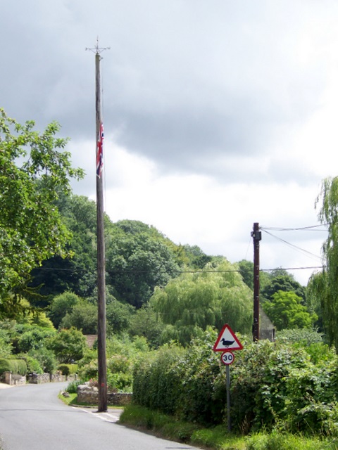
Image: © Maigheach-gheal Taken: 21 Jul 2010
Close to the village pond generations of children of the Wardour estates have danced around the maypole on May Day. In 1993 the 72 foot pole fell in a storm. It has been replaced by a 50 foot pole on the advice of the insurance company.
Images are licensed for reuse under creativecommons.org/licenses/by-sa/2.0
Image Location
Latitude
51.037841
Longitude
-2.063845