M66 Between Pilsworth and Unsworth
Introduction
The photograph on this page of M66 Between Pilsworth and Unsworth by David Dixon as part of the Geograph project.
The Geograph project started in 2005 with the aim of publishing, organising and preserving representative images for every square kilometre of Great Britain, Ireland and the Isle of Man.

There are currently over 7.5m images from over 14,400 individuals and you can help contribute to the project by visiting https://www.geograph.org.uk
M66 Between Pilsworth and Unsworth
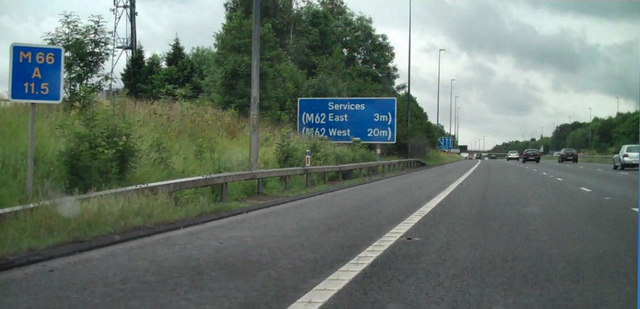
Image: © David Dixon Taken: 20 Jul 2010
The M66 as it approaches the telecommunications mast (SD8221 0800, on the left). The bridge at Castle Road (SD822 075) can just be seen in the distance).
Images are licensed for reuse under creativecommons.org/licenses/by-sa/2.0
Image Location


Leaflet Map data © OpenStreetMap
Latitude
53.56841
Longitude
-2.27071