The level crossing at St Bees
Introduction
The photograph on this page of The level crossing at St Bees by Bill Boaden as part of the Geograph project.
The Geograph project started in 2005 with the aim of publishing, organising and preserving representative images for every square kilometre of Great Britain, Ireland and the Isle of Man.

There are currently over 7.5m images from over 14,400 individuals and you can help contribute to the project by visiting https://www.geograph.org.uk
The level crossing at St Bees
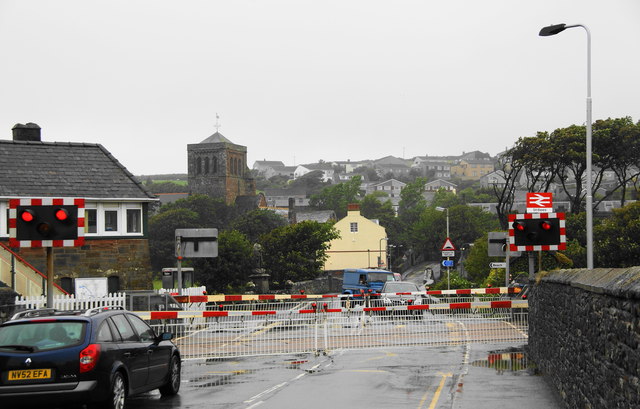
Image: © Bill Boaden Taken: 19 Jul 2010
It was timed so that trains passed both ways.
Images are licensed for reuse under creativecommons.org/licenses/by-sa/2.0
Image Location
Latitude
54.492484
Longitude
-3.591225