Woodcutters Arms, Whiteshill
Introduction
The photograph on this page of Woodcutters Arms, Whiteshill by Derek Harper as part of the Geograph project.
The Geograph project started in 2005 with the aim of publishing, organising and preserving representative images for every square kilometre of Great Britain, Ireland and the Isle of Man.

There are currently over 7.5m images from over 14,400 individuals and you can help contribute to the project by visiting https://www.geograph.org.uk
Woodcutters Arms, Whiteshill
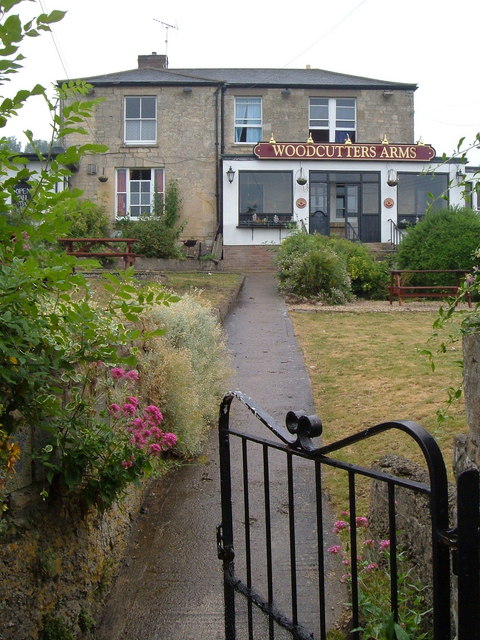
Image: © Derek Harper Taken: 5 Jul 2006
The pub occupies the fork of land between Upper Kitesnest Road and the Main Road in this ridge village.
Images are licensed for reuse under creativecommons.org/licenses/by-sa/2.0
Image Location
Latitude
51.764326
Longitude
-2.234403