Scalebarrow
Introduction
The photograph on this page of Scalebarrow by Bill Boaden as part of the Geograph project.
The Geograph project started in 2005 with the aim of publishing, organising and preserving representative images for every square kilometre of Great Britain, Ireland and the Isle of Man.

There are currently over 7.5m images from over 14,400 individuals and you can help contribute to the project by visiting https://www.geograph.org.uk
Scalebarrow
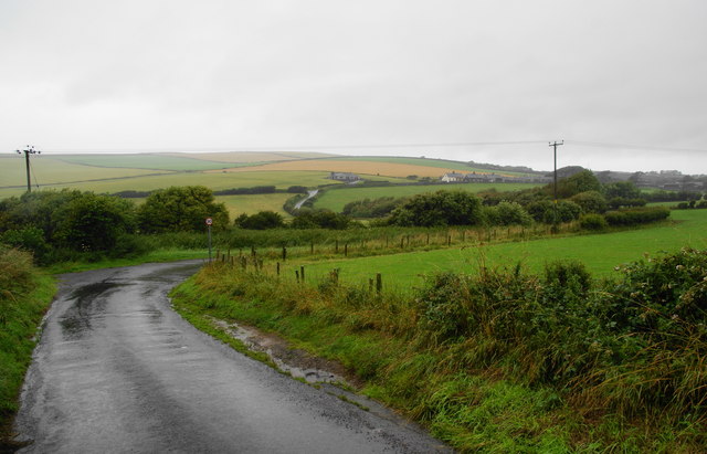
Image: © Bill Boaden Taken: 19 Jul 2010
This is the lane from St Bees to Rottington. Rottington Cottages are visible on the far hillside.
Images are licensed for reuse under creativecommons.org/licenses/by-sa/2.0
Image Location
Latitude
54.496378
Longitude
-3.602649