Wendover Road, Bedgrove
Introduction
The photograph on this page of Wendover Road, Bedgrove by Rob Farrow as part of the Geograph project.
The Geograph project started in 2005 with the aim of publishing, organising and preserving representative images for every square kilometre of Great Britain, Ireland and the Isle of Man.

There are currently over 7.5m images from over 14,400 individuals and you can help contribute to the project by visiting https://www.geograph.org.uk
Wendover Road, Bedgrove
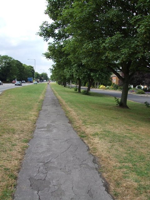
Image: © Rob Farrow Taken: 6 Jul 2006
Bedgrove is a suburb of Aylesbury. This is the A413 Wendover Road. The service road on the right keeps the houses well back from this busy road.
Images are licensed for reuse under creativecommons.org/licenses/by-sa/2.0
Image Location
Latitude
51.798608
Longitude
-0.789089