Cullompton: edge of Blackpark Wood
Introduction
The photograph on this page of Cullompton: edge of Blackpark Wood by Martin Bodman as part of the Geograph project.
The Geograph project started in 2005 with the aim of publishing, organising and preserving representative images for every square kilometre of Great Britain, Ireland and the Isle of Man.

There are currently over 7.5m images from over 14,400 individuals and you can help contribute to the project by visiting https://www.geograph.org.uk
Cullompton: edge of Blackpark Wood
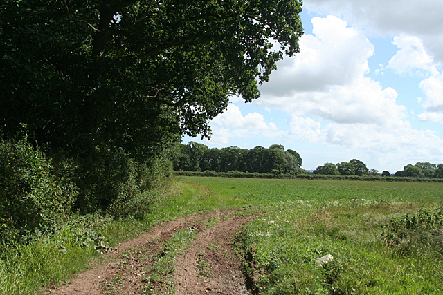
Image: © Martin Bodman Taken: 21 Jul 2010
A bridleway now runs along the edge of the field, although not evident on the Ordnance Survey map
Images are licensed for reuse under creativecommons.org/licenses/by-sa/2.0
Image Location


Leaflet Map data © OpenStreetMap
Latitude
50.842895
Longitude
-3.351802