Road junction, Brentford
Introduction
The photograph on this page of Road junction, Brentford by Derek Harper as part of the Geograph project.
The Geograph project started in 2005 with the aim of publishing, organising and preserving representative images for every square kilometre of Great Britain, Ireland and the Isle of Man.

There are currently over 7.5m images from over 14,400 individuals and you can help contribute to the project by visiting https://www.geograph.org.uk
Road junction, Brentford
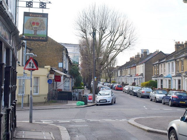
Image: © Derek Harper Taken: 15 Apr 2010
Taken beside the Royal Oak (left), one of the pubs at each corner of Griffin Park, Brentford's football ground. In the foreground is New Road; over the staggered crossroads is Hamilton Road. The main road is Brook Road South, but if you turn right you are in a cul-de-sac; Brook Road North continues beyond the railway line (there is a footbridge).
Images are licensed for reuse under creativecommons.org/licenses/by-sa/2.0
Image Location
Latitude
51.488243
Longitude
-0.305016