Fields flooding in North Laggan by Allt an Oighre
Introduction
The photograph on this page of Fields flooding in North Laggan by Allt an Oighre by Sarah McGuire as part of the Geograph project.
The Geograph project started in 2005 with the aim of publishing, organising and preserving representative images for every square kilometre of Great Britain, Ireland and the Isle of Man.

There are currently over 7.5m images from over 14,400 individuals and you can help contribute to the project by visiting https://www.geograph.org.uk
Fields flooding in North Laggan by Allt an Oighre
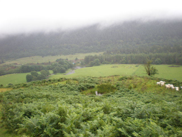
Image: © Sarah McGuire Taken: 21 Jul 2010
Images are licensed for reuse under creativecommons.org/licenses/by-sa/2.0
Image Location
Latitude
57.039701
Longitude
-4.810033