The bomb damaged Downshire Presbyterian Church
Introduction
The photograph on this page of The bomb damaged Downshire Presbyterian Church by Eric Jones as part of the Geograph project.
The Geograph project started in 2005 with the aim of publishing, organising and preserving representative images for every square kilometre of Great Britain, Ireland and the Isle of Man.

There are currently over 7.5m images from over 14,400 individuals and you can help contribute to the project by visiting https://www.geograph.org.uk
The bomb damaged Downshire Presbyterian Church
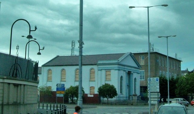
Image: © Eric Jones Taken: 2 Jul 2010
A car bomb aimed at the court house (on the left) caused much damage to the chapel.
Images are licensed for reuse under creativecommons.org/licenses/by-sa/2.0
Image Location
Latitude
54.180202
Longitude
-6.334069