Footpath towards Geerings
Introduction
The photograph on this page of Footpath towards Geerings by Robin Webster as part of the Geograph project.
The Geograph project started in 2005 with the aim of publishing, organising and preserving representative images for every square kilometre of Great Britain, Ireland and the Isle of Man.

There are currently over 7.5m images from over 14,400 individuals and you can help contribute to the project by visiting https://www.geograph.org.uk
Footpath towards Geerings
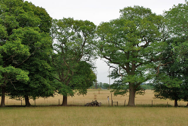
Image: © Robin Webster Taken: 20 Jul 2010
At the stile is a notice announcing a footpath diversion to avoid a close approach to Geerings (a house). The view is at a date between the acceptance of the proposal and the date of confirmation. There were new signs for the diversion but also old signs for the original route. Which way to go? The dilemma was avoided, as the notice also showed a further proposed additional footpath. This cut down a lot of walking along the busy A24 road, so this was used, although not yet signed.
Images are licensed for reuse under creativecommons.org/licenses/by-sa/2.0
Image Location
Latitude
51.10142
Longitude
-0.345483