Where the Coast to Coast Path turns inland
Introduction
The photograph on this page of Where the Coast to Coast Path turns inland by Bill Boaden as part of the Geograph project.
The Geograph project started in 2005 with the aim of publishing, organising and preserving representative images for every square kilometre of Great Britain, Ireland and the Isle of Man.

There are currently over 7.5m images from over 14,400 individuals and you can help contribute to the project by visiting https://www.geograph.org.uk
Where the Coast to Coast Path turns inland
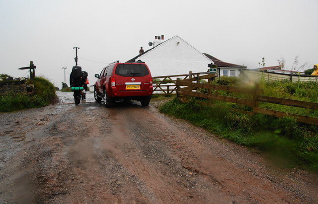
Image: © Bill Boaden Taken: 19 Jul 2010
This was looking directly into the oncoming rain, hence the distortion.
Images are licensed for reuse under creativecommons.org/licenses/by-sa/2.0
Image Location
Latitude
54.522658
Longitude
-3.613567