The path to Bryn Celli Ddu
Introduction
The photograph on this page of The path to Bryn Celli Ddu by Robin Drayton as part of the Geograph project.
The Geograph project started in 2005 with the aim of publishing, organising and preserving representative images for every square kilometre of Great Britain, Ireland and the Isle of Man.

There are currently over 7.5m images from over 14,400 individuals and you can help contribute to the project by visiting https://www.geograph.org.uk
The path to Bryn Celli Ddu
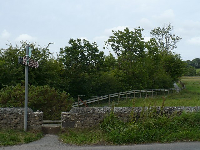
Image: © Robin Drayton Taken: 15 Jul 2010
Just across the road from a small car park, this well surfaced path leads to the ancient burial mound http://www.geograph.org.uk/photo/863672Acrosshttp://www.geograph.org.uk/photo/86367.
Images are licensed for reuse under creativecommons.org/licenses/by-sa/2.0
Image Location
Latitude
53.204675
Longitude
-4.237878