Bridleway to Wales End
Introduction
The photograph on this page of Bridleway to Wales End by Bob Jones as part of the Geograph project.
The Geograph project started in 2005 with the aim of publishing, organising and preserving representative images for every square kilometre of Great Britain, Ireland and the Isle of Man.

There are currently over 7.5m images from over 14,400 individuals and you can help contribute to the project by visiting https://www.geograph.org.uk
Bridleway to Wales End
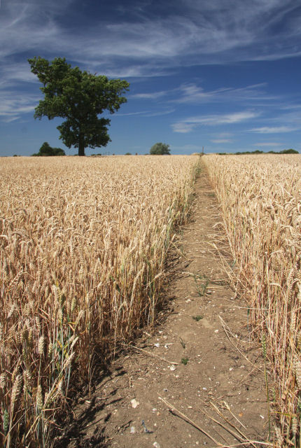
Image: © Bob Jones Taken: 19 Jul 2010
This narrow bridleway from Colt's Hall cuts northwards and uphill across a field of wheat.
Images are licensed for reuse under creativecommons.org/licenses/by-sa/2.0
Image Location
Latitude
52.106739
Longitude
0.621414