Road junction on B5307
Introduction
The photograph on this page of Road junction on B5307 by Roger Templeman as part of the Geograph project.
The Geograph project started in 2005 with the aim of publishing, organising and preserving representative images for every square kilometre of Great Britain, Ireland and the Isle of Man.

There are currently over 7.5m images from over 14,400 individuals and you can help contribute to the project by visiting https://www.geograph.org.uk
Road junction on B5307
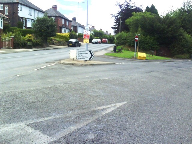
Image: © Roger Templeman Taken: 17 Jul 2010
Fork in B5307 where it changes from Newtown Road to Moorhouse Road, with the RHS of fork being Burgh Road.
Images are licensed for reuse under creativecommons.org/licenses/by-sa/2.0
Image Location
Latitude
54.895561
Longitude
-2.971663