Hardy Way
Introduction
The photograph on this page of Hardy Way by Derek Harper as part of the Geograph project.
The Geograph project started in 2005 with the aim of publishing, organising and preserving representative images for every square kilometre of Great Britain, Ireland and the Isle of Man.

There are currently over 7.5m images from over 14,400 individuals and you can help contribute to the project by visiting https://www.geograph.org.uk
Hardy Way
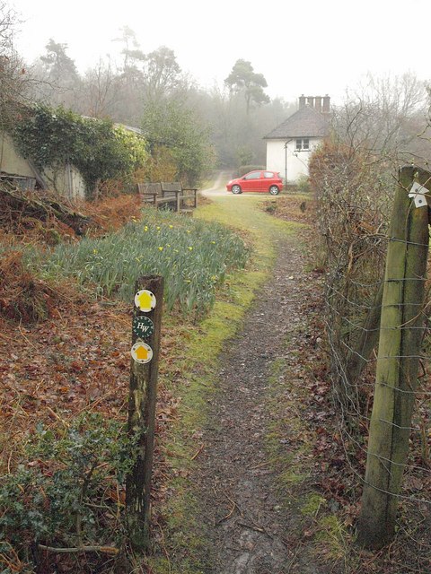
Image: © Derek Harper Taken: 19 Mar 2010
Footpath SE4/14 passes cottages as it approaches the road across Throop Heath on a thoroughly wet and misty day. The Way runs for over 340 kilometres taking a circular route through Dorset but is not marked on the 1:25000 map.
Images are licensed for reuse under creativecommons.org/licenses/by-sa/2.0
Image Location


Leaflet Map data © OpenStreetMap
Latitude
50.730922
Longitude
-2.262074