A sign to Adderston Shiels
Introduction
The photograph on this page of A sign to Adderston Shiels by Walter Baxter as part of the Geograph project.
The Geograph project started in 2005 with the aim of publishing, organising and preserving representative images for every square kilometre of Great Britain, Ireland and the Isle of Man.

There are currently over 7.5m images from over 14,400 individuals and you can help contribute to the project by visiting https://www.geograph.org.uk
A sign to Adderston Shiels
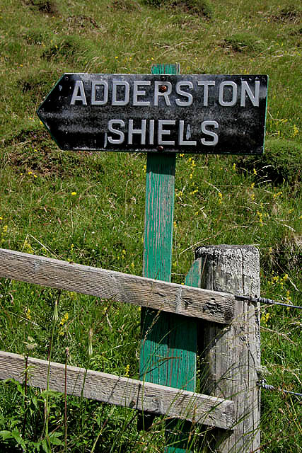
Image: © Walter Baxter Taken: 17 Jul 2010
This sign on the north side of the B6399 is for Adderston Shiels Farm. For a view of the farm road near the sign, see Image
Images are licensed for reuse under creativecommons.org/licenses/by-sa/2.0
Image Location
Latitude
55.369696
Longitude
-2.767877