Cisterngate
Introduction
The photograph on this page of Cisterngate by Paddy Griffin as part of the Geograph project.
The Geograph project started in 2005 with the aim of publishing, organising and preserving representative images for every square kilometre of Great Britain, Ireland and the Isle of Man.

There are currently over 7.5m images from over 14,400 individuals and you can help contribute to the project by visiting https://www.geograph.org.uk
Cisterngate
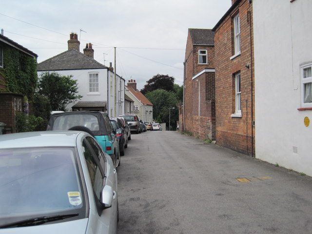
Image: © Paddy Griffin Taken: 18 Jul 2010
An interesting road close to the hospital. The view looks west towards the old A16. The houses in the area are a mixture of edwardian terraces and inner war social housing.
Images are licensed for reuse under creativecommons.org/licenses/by-sa/2.0
Image Location
Latitude
53.368711
Longitude
-0.007637